Every route.
Every device.
Open the route you have and save it the way your GPS reads it. 90+ formats, on your own computer.
Formats read and written
025507590+
- Your route
- Road
- River
- Woodland
- Contour, 100 m
- Summit
4,000,000+ downloads · 100,000+ users · 25,000+ route catalog accounts
Illustrative map, Karwendel area
Gazetteer of formats
The 62 format families RouteConverter reads, indexed like the place names on a map sheet.
Alan Map 500.trlape@map.trkColumbus GPS.csvCompeGPS / TwoNav.rteCoPilot.trpCSV.csvFAI/IGC Flight Recorder Data.igcFalk Navigator.tourFlightradar 24.csvGarmin FIT.fitGarmin Flight Plan.fplGarmin MapSource.gdbGarmin PCX5.wptGarmin POI.gpiGeocaching.com/EasyGPS.locGeoHack URL.urlGeoJSON.jsonGlopus.tkGoogle Maps URL.urlGoogle Timeline.jsonGoPal.xmlGoRider GPS.rtGPS Tuner.trkGPX.gpxHaicom Logger.csvHolux M-241.bini-Blue 747.csviGO8.kmlKienzle GPS.txtklickTel Routenplaner 2009.krtKML / KMZ.kmlKompass.tkKurviger URL.urlMagellan.logMagicMaps.iktMap&Guide Tourenplaner.bcrMicrosoft Excel.xlsMicrosoft Flight Simulator 2020 Flight Plan.plnMotoPlaner URL.urlNational Geographic Topo 3.tpoNavigating POI-Warner.ascNavigon.cruiserNavilink.sbpNMEA 0183.nmeaNokia Landmark Exchange.lmxOpel Navi 600/900.poiOziExplorer.pltPhoto (geotagged JPEG).jpgQstarz BT-Q1000.csvRoute 66 POI.csvRTZ Route Exchange.rtzSondenMonitor groundtrack.txtSygic POI.txtTCX.tcxTomTom Itinerary.itnTomTom POI.ov2Top50 OVL.ovlTour Exchange Format.tefURL Reference.urlViaMichelin.xvmWintec WBT-201/WBT-202.tesZIP Archive.zip
Popular conversions
- RTZ Route Exchange to GPX
- Google Timeline to GPX
- Garmin FIT to GPX
- GPX to TomTom Itinerary
- Microsoft Excel to GPX
- GPX to TCX
- CompeGPS/TwoNav Track to GPX
- CSV to TCX
All formats and what they can do Convert between formats Put routes on your device
The program
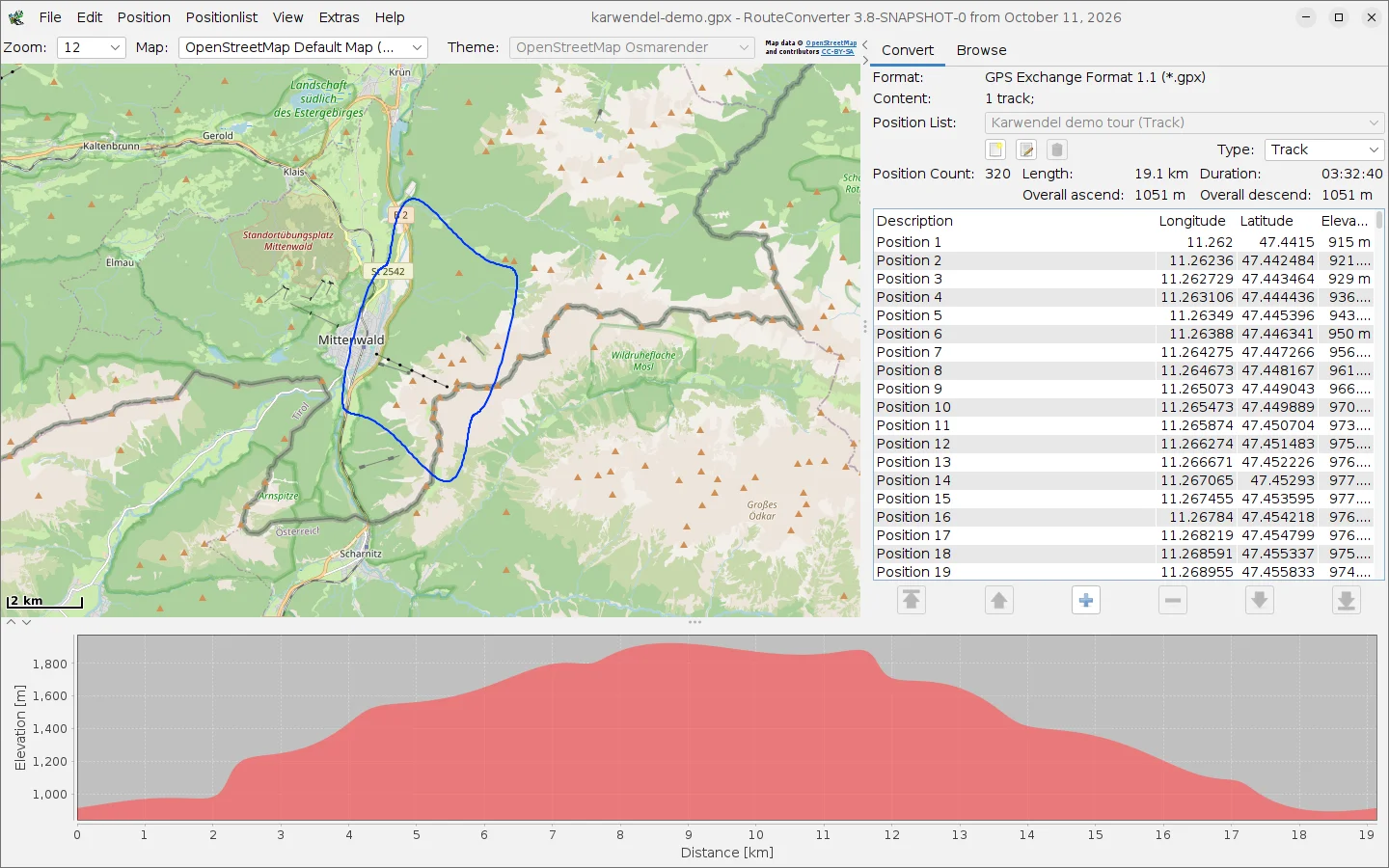
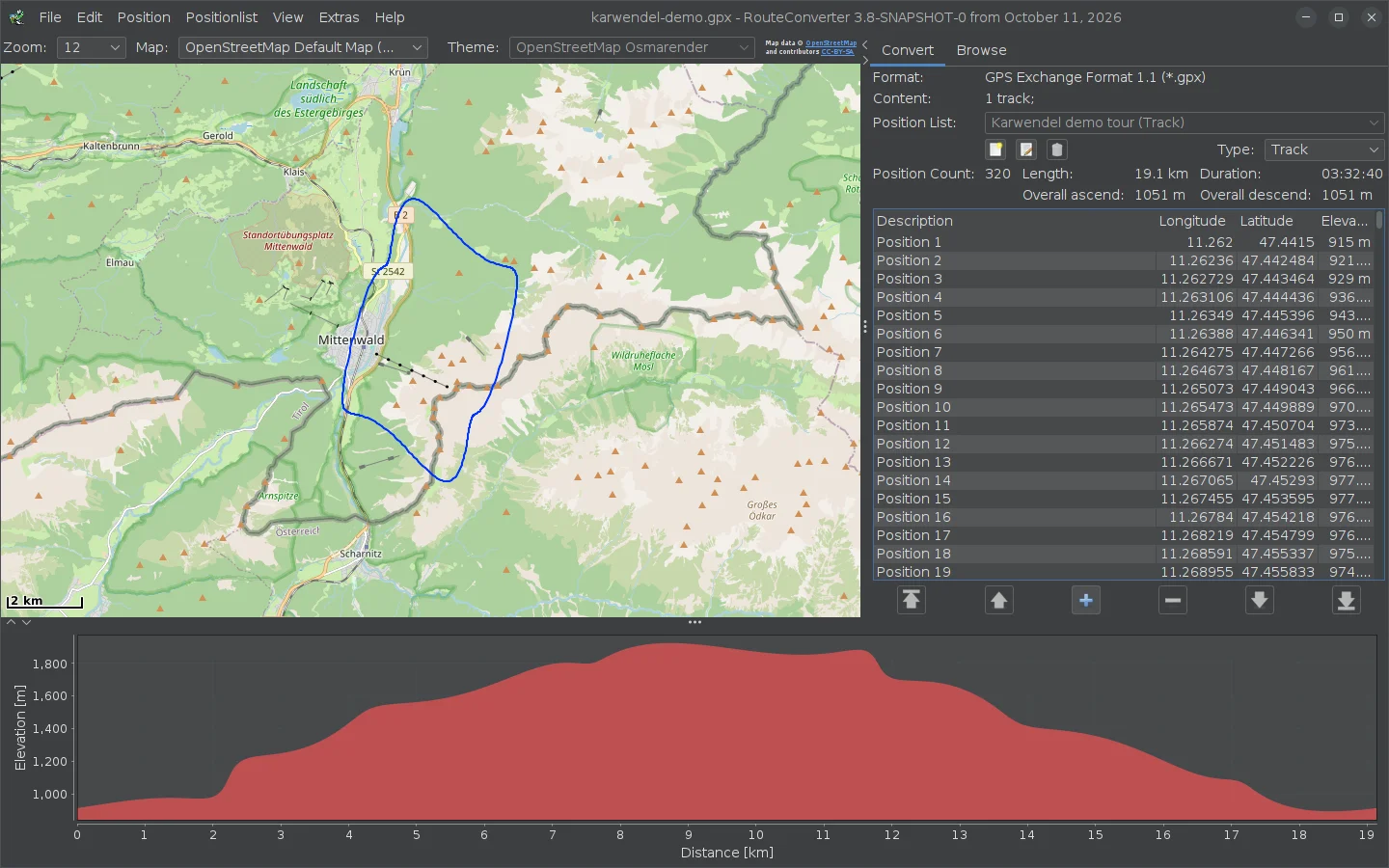
A demo tour near Mittenwald: map, position list and elevation profile in one window.
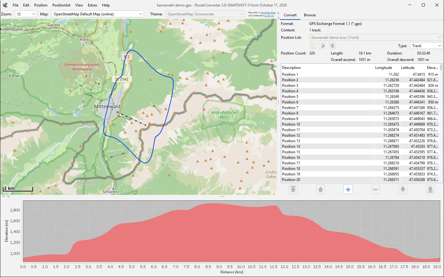
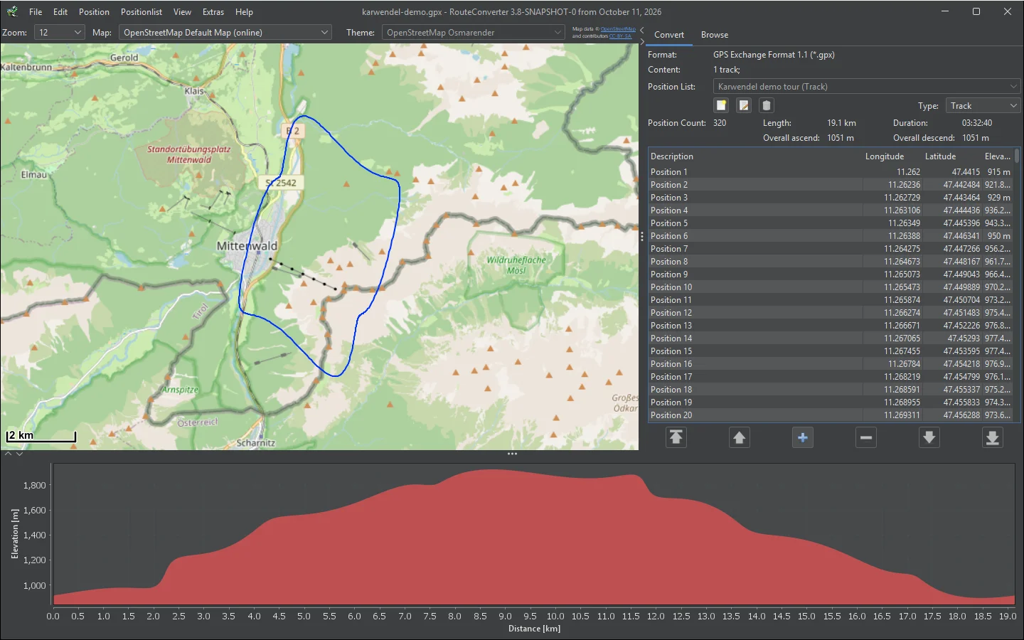
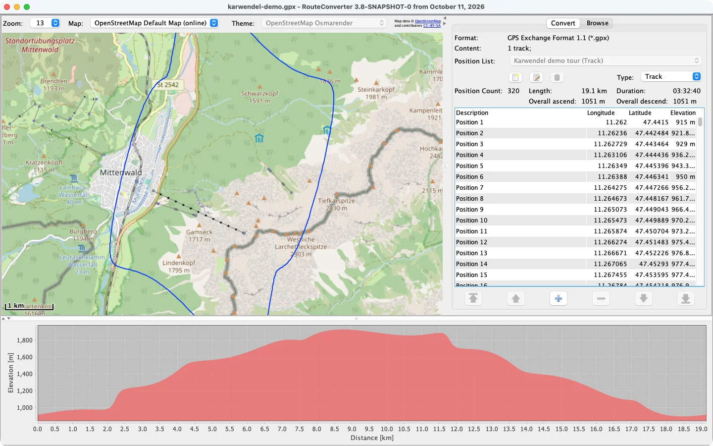
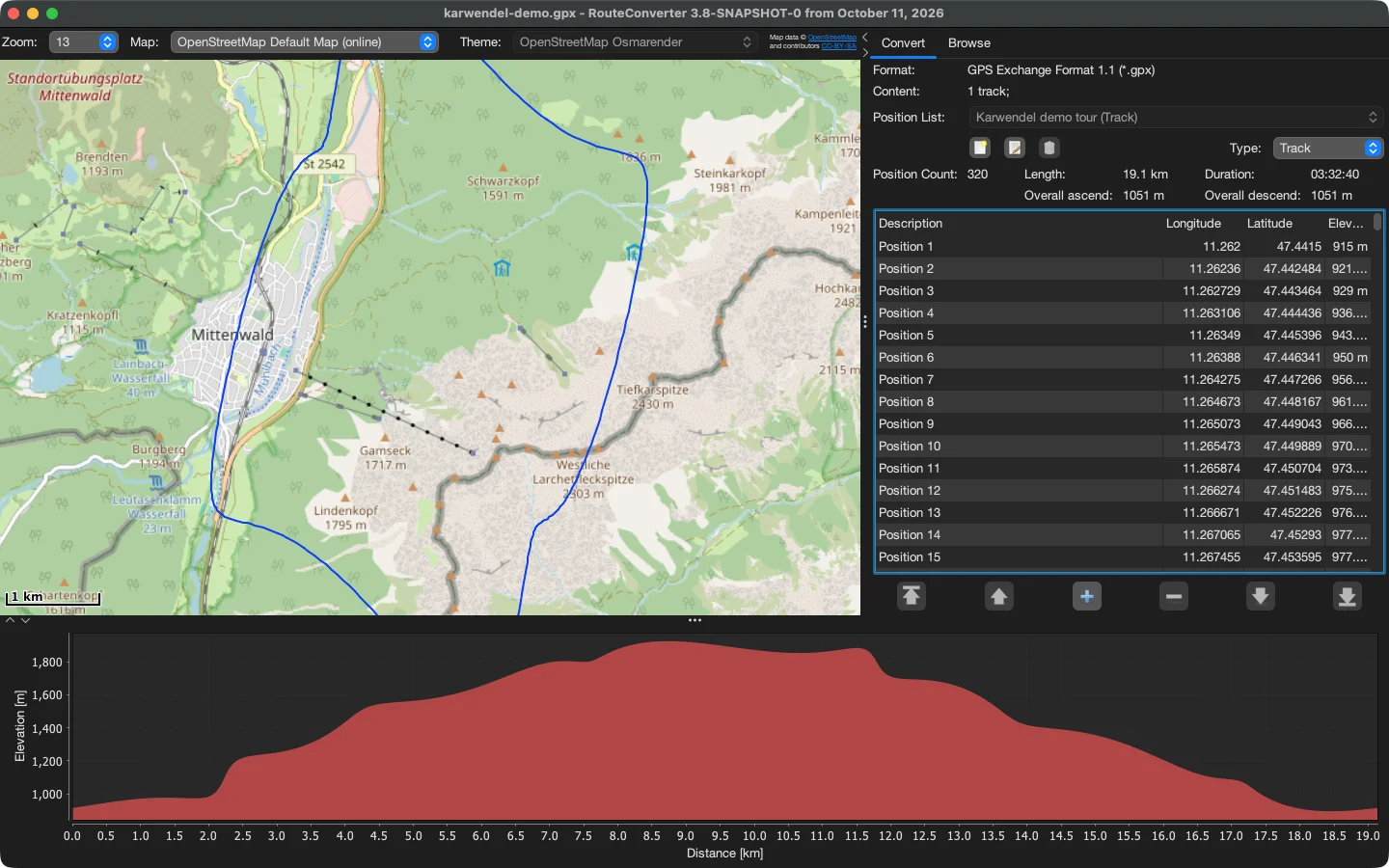
- Open anythingDrop a file on the window or paste positions from the clipboard; the format is detected on its own.
- See the whole tourMap and position list side by side, with length, ascent, descent and duration.
- Read the profileThe graph below the map plots elevation, speed or another value along the route.
- Enrich itFill in missing elevation from local SRTM tiles, offline, and postal addresses for each position.
- Clean it upThin out tracks by distance, by order or with Douglas-Peucker; reverse, split and merge.
- Plan the routeDrag positions on the map and snap the route to roads and trails with BRouter.
- Share itPublish routes to the RouteCatalog and browse other people’s routes without an account.
- Save for the deviceWrite any of 90+ formats; odd and damaged files open anyway.
Download RouteConverter
Version 3.7, released 10 Oct 2026. For Windows, macOS and Linux. · Release notes