TomTom POI (.ov2)
An OV2 file is a set of custom points of interest for a TomTom device — a compact binary list of named coordinates. It is an overlay of places, not a route or a track.
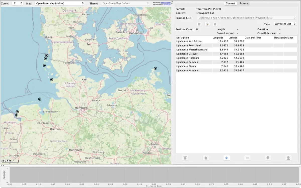
At a glance
| Extension | .ov2 |
| Encoding | binary |
| By | TomTom |
History
OV2 is TomTom's own custom-POI format, distributed with its navigation devices. TomTom never published a formal specification; what is publicly known comes from its own community forum and from independent implementations such as GPSBabel, which RouteConverter bundles.
Where it is used
OV2 files are loaded onto TomTom navigation devices as custom POI sets — speed cameras, fuel stations, campsites, dealer networks. Whole cottage industries publish them, and a POI set is what most TomTom owners are looking for when they meet the extension.
Structure
OV2 is binary and, in its simple form, a flat sequence of fixed-shape records: one byte of record type, four bytes giving the record length including the type and length fields themselves, four bytes of longitude, four bytes of latitude and then a null-terminated ASCII name. Coordinates are stored as integers — the WGS 84 decimal degrees multiplied by 100000 and rounded — so longitude spans −18000000 to +18000000 and latitude −9000000 to +9000000. A POI set usually ships with a matching 22×22, 16-colour .bmp icon carrying the same base filename.
How widespread
OV2 is specific to TomTom hardware; nothing else navigates with it. Because the record layout is simple and well understood, converting a POI list into it is straightforward — which is why so many POI collections are published in this format.
RouteConverter support
| Reads | Tom Tom POI |
| Writes | Tom Tom POI |
RouteConverter handles OV2 through the bundled GPSBabel rather than with its own parser, so gpsbabel must be present — the installer ships it.
Specifications and documentation
Related conversions
FAQ
What is a .ov2 file?
An OV2 file is a set of custom points of interest for a TomTom device — a compact binary list of named coordinates. It is an overlay of places, not a route or a track.
How do I open a .ov2 file?
RouteConverter, the free converter for Windows, macOS and Linux, opens TomTom POI files: start the app, load the file, then view it on the map or save it in another format.
What can I convert .ov2 to?
RouteConverter turns .ov2 files into other formats, free. These conversions have their own guide: TomTom POI to GPX.